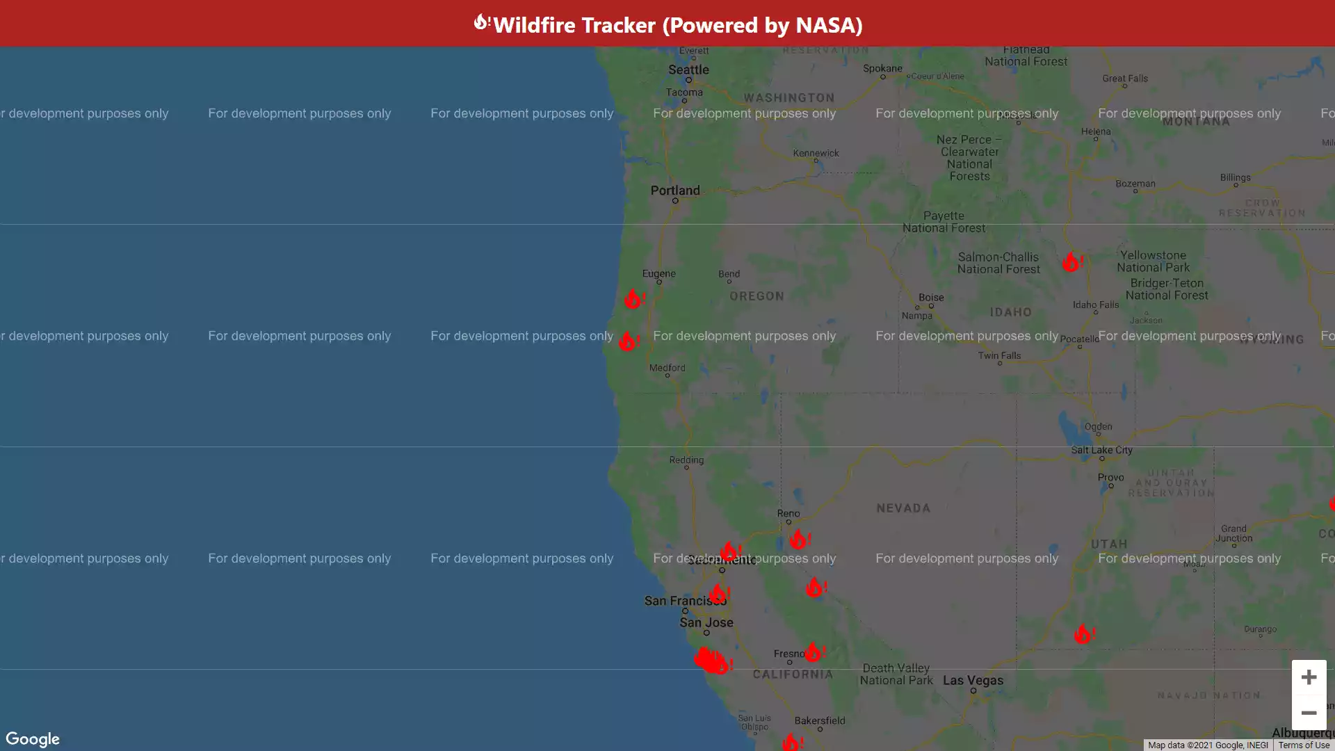
Want to stay informed about wildfires in your area? With our Wildfire Tracker project, you can create a real-time map that displays current wildfire conditions and updates automatically.
Using React JS and the Google Maps API, you'll learn how to integrate live data feeds from various sources to show the location, size, and intensity of fires in your region. The project will also cover techniques for monitoring fire progression and predicting its path based on data trends. Improve your coding skills while contributing to fire safety? Why not give it a try?
Note: Some of the project demos might not work due to reasons such as lack of maintenance, outdated technology, or use of deprecated APIs.
Note: All the projects are not mine. Some of them are just for learning purposes and some of them I have refaranced from other developers from YouTube or other platforms.

